What Is Pressure Altitude? Pilot Guide & Performance
Aug 06, 2026
Every pilot needs a reliable way to measure how high they are, and more importantly, how the air around them will affect their airplane.
That's where pressure altitude comes in. It's one of the most important concepts you'll encounter in flight training, FAA exams, and real-world flying. This guide walks you through what pressure altitude actually is, how to calculate it, and why it matters for every flight you make.
Key Takeaways
-
Pressure altitude is the altitude indicated on the aircraft's altimeter when the Kollsman window is set to the standard pressure of 29.92 inches of mercury (1013.25 hPa). It's a purely pressure-based reference tied to a theoretical level, not a measurement of height above terrain.
-
Pressure altitude is used as a baseline for density altitude calculations. Density altitude is pressure altitude corrected for temperature deviations from the international standard atmosphere, and sometimes humidity, to describe how the airplane will actually perform.
-
Pilots rely on pressure altitude for performance charts, flight levels above 18,000 feet, and FAA written-exam problems. Density altitude is used to predict real-world takeoff, climb, and landing performance.
-
Understanding pressure altitude and knowing how to determine pressure altitude using the altimeter, a simple formula, or exam charts is essential for safe flight operations and accurate navigation.
-
This article covers atmospheric pressure basics, the Kollsman window, how to calculate pressure altitude and density altitude, and common scenarios where pilots depend on these values.
Understanding Atmospheric Pressure and Altimeters
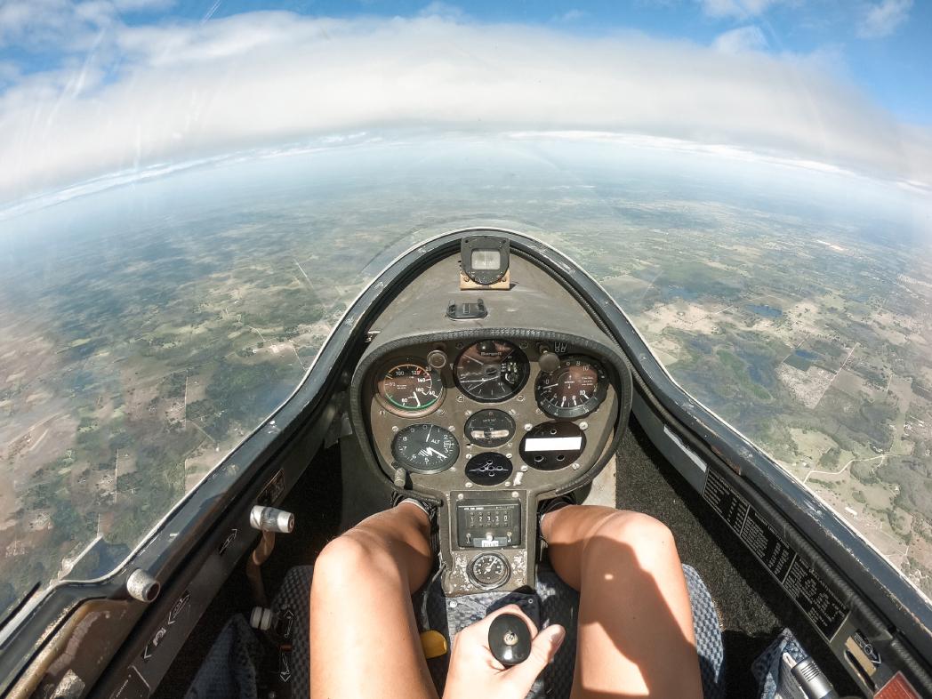
Atmospheric pressure is basically the weight of the air pressing down on you from above. As you go up in the air, there are fewer air molecules floating above you, so atmospheric pressure decreases naturally with altitude. Not surprisingly, pilots have figured out a way to use this relationship to convert air pressure readings into actual altitude values.
Under the international standard atmosphere (ISA), sea level pressure is defined as 29.92 inHg (1013.25 hPa) at a standard temperature of 15 °C. This standard pressure is the foundation of every pressure altitude calculation.
An altimeter is essentially just a super sensitive pressure gauge inside it's got these aneroid wafers which expand or contract as the air pressure outside changes and the instrument face then converts those changes into an altitude reading measured in feet all relative to mean sea level.
Now the important bit is the indicated altitude is dependent on the barometric setting you've chosen in the Kollsman window, which is why pilots are always updating this setting by using the latest local barometric pressure figures from the ATIS or METAR broadcasts.
Understanding how the altimeter works also helps pilots appreciate the inspection requirements outlined in FAR 91.411, which ensures the accuracy of the aircraft's altimeter and static pressure system for IFR operations.
Unlike a straightforward barometer that just shows you the pressure in some nice round numbers, an altimeter is actually calibrated in feet.
And that's exactly why getting a wrong Kollsman window setting or failing to account for rapid weather changes can cause a massive altitude error it's why we have standardized concepts like pressure altitude in the first place.
The Kollsman Window, Indicated Altitude, and Field Elevation
The Kollsman window is a small adjustment window on the altimeter face, typically located near the 3 o'clock position. It displays the current altimeter setting, which is local station pressure reduced to sea level, usually shown in inches of mercury in North America and millibars or hPa in other regions.
The indicated altitude you see on the altimeter is the number you get when the Kollsman window is set to the reported altimeter setting. Under normal atmospheric conditions, it should match up with your true altitude above mean sea level.
Airport elevation is the official height above mean sea level that's published for each airport. Denver International for example is at around 5,434 feet, while LAX is roughly 128 feet high. If you set the correct altimeter setting on the ground, the altimeter reading should be close to the actual airport elevation.
Its worth keeping in mind that changes in local barometric pressure will mess with your true altitude readings, so keeping the Kollsman window up to date is pretty key.
Once you get your head around indicated altitude and field elevation, you can easily work out pressure altitude whenever you need to, whether its for performance calculations or standardized flight levels.
What Is Pressure Altitude?
Pressure altitude is the altitude that shows up on your altimeter when you set that Kollsman window of yours to 29.92 inHg, regardless of what the weather is like at the time. Its main purpose is to provide a way for every aircraft to reference a standardized measure of atmospheric pressure that everyone can refer back to.
The standard datum plane is actually just a theoretical point where the atmospheric pressure at sea level is exactly 29.92 inHg according to standard temperature and air pressure conditions for non-tropical climates. Pressure altitude then is the height above that theoretical reference point.
Here's how the relationship works with non standard pressure:
-
When actual sea level pressure is lower than 29.92 inHg (a low pressure system), pressure altitude is higher than indicated altitude.
-
When actual sea level pressure is higher than 29.92 inHg (higher pressure), pressure altitude is lower than indicated altitude.
Pressure altitude is used above 18,000 feet in the US and Canada. All aircraft above 18,000 feet MSL use a standard altimeter setting of 29.92 inHg per FAA regulation 14 CFR §91.121. Flight levels like FL180 or FL250 are named directly from pressure altitude values. Mode C and Mode S transponders also report pressure altitude to ATC, which is essential for maintaining safe vertical separation among aircraft.
Example: Take an airport with a field elevation of 4,000 feet that just happens to have an altimeter setting of 30.12 inHg. Given that the actual local pressure is higher than the 29.92 standard, we can bet the pressure altitude will be lower than 4,000 ft. We'll see the math in the next section.
How to Calculate Pressure Altitude
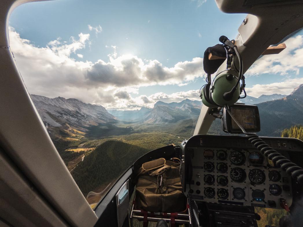
As a pilot you've got a few options depending on the situation, from using the altimeter to give you a straight answer, to a rough & ready formula or relying on those fancy flight computers & charts.
Up in the Plane: Set the Kollsman window on your altimeter to 29.92 inHg or 1013 hPa & read the dial off that's your pressure altitude in there. You can measure it that way with an altimeter set to 29.92 inHg its really that simple.
The rule-of-thumb formula used in training and FAA exams is simple and practical:
Pressure Altitude ≈ Field Elevation + (29.92 − Current Altimeter Setting) × 1,000
For example, at a 3,000 ft field elevation with a current altimeter setting of 30.12 inHg:
PA = 3,000 + (29.92 − 30.12) × 1,000 = 3,000 − 200 = 2,800 ft
FAA written tests sometimes provide a pressure-altitude conversion table where candidates match the altimeter setting to a correction value in feet and add or subtract it from field elevation.
You can also get an electronic flight computer like the ASA CX-3 do that for you with a few key-presses or use an EFB app. Just give it the field elevation & current altimeter setting and its away.
Whatever method you choose the end result is always the same: strip away those local pressure quirks and get back to a standard pressure reference, and with that you can then do all sorts of other calculations like working out density altitude and how your aircraft will perform.
From Pressure Altitude to Density Altitude
Density altitude takes pressure altitude and corrects it for non standard temperature (and sometimes humidity) to reflect the actual air density around the aircraft. Density altitude is pressure altitude corrected for temperature-it tells you how the air actually behaves.
In plain terms, density altitude is the altitude in the ISA atmosphere where the air would have the same density as the current air. An airport at 2,000 ft pressure altitude might have a density altitude of 6,000 ft on a hot summer afternoon, meaning the airplane performs as if it were at 6,000 ft in standard conditions. Density altitude reflects how the aircraft "feels" in current conditions.
The temperature effect is key: when outside air temperature exceeds the standard temperature for a given altitude (about 15 °C at sea level, decreasing roughly 2 °C per 1,000 ft), air molecules spread apart, reducing density. Higher temperatures increase density altitude, affecting aircraft performance. Conversely, when air temperature is colder than ISA, density altitude decreases and performance improves.
To calculate density altitude, find pressure altitude first, determine the ISA temperature for that altitude, then compare to actual outside air temperature. Use performance charts, an E6B, or an online density altitude calculator to get the final value.
Example: At 5,000 ft pressure altitude on a 30 °C day, ISA temperature is about 5 °C. The 25 °C deviation pushes density altitude well above 8,000 ft-a significant performance hit for any non-turbocharged airplane.
Why Pressure Altitude and Density Altitude Matter for Aircraft Performance
Aircraft performance varies at different pressure altitudes due to air density changes. Safe takeoffs, climbs, and landings all depend on understanding how thin or thick the air actually is at your particular location.
Performance charts in the Pilot's Operating Handbook (POH) use pressure altitude and temperature as inputs to predict:
-
Takeoff distance
-
Rate of climb
-
Cruise true airspeed and fuel burn
-
Landing distance
Pressure altitude is really key for these performance calculations because it gives you a standardized baseline that these charts need to work properly. The problem is that at high-elevation airports like Leadville, Colorado (9,934 ft MSL), or during hot weather at mid-altitude fields, you're in for a world of trouble. Your aircraft require longer runways, climb rates are lower and you may even need to put weight restrictions on the plane.
Specific impacts include a reduction in wing lift because there are just fewer air molecules to lift you up, decreased propeller or jet thrust and lower engine power output in non-turbocharged engines. And then you've got to worry about humidity too moist air is less dense than dry air, so that's just another way density altitude creeps up on you.
Air traffic control uses pressure altitude to keep planes separated properly, while pilots rely on both pressure altitude and density altitude during pre-flight planning, weight and balance checks, and making go/no-go decisions.
They may also consult the minimum equipment list to determine whether an aircraft with inoperative equipment can be legally and safely dispatched for the planned flight
Scenario: A fully loaded training airplane on a 35 °C standard day at a 4,500 ft airport. A quick density altitude check reveals approximately 7,500 ft density altitude. The required takeoff distance now exceeds available runway. The accurate response: reduce weight or delay departure until cooler temperatures arrive.
Common Exam Questions and Practical Tips for Pilots
FAA knowledge tests regularly ask candidates to calculate pressure altitude and density altitude step by step. A working knowledge of the equation and a consistent workflow are your best tools.
Three-step mental checklist for exams and real flights:
-
Identify or confirm field elevation.
-
Calculate pressure altitude using the altimeter setting or a conversion chart.
-
Calculate density altitude using outside air temperature and performance charts or a flight computer.
Common exam traps to avoid:
-
Mixing up indicated altitude with pressure altitude
-
Using the local QNH value instead of the 29.92 standard when the question asks for pressure altitude
-
Forgetting that on a standard day the altitude change between pressure altitude and density altitude is zero
-
Assuming density altitude is lower on hot days (it's always higher)
Practical cockpit tips:
-
Cross-check your altimeter indication against known airport elevation before every takeoff
-
Monitor rapid weather-driven pressure changes, especially with passing fronts where non standard pressure can shift quickly
-
Reassess density altitude whenever air temperature rises significantly during the day, especially at lower altitudes where summer heating is strongest
High-altitude airports, short runways, and high-weight departures are situations where small miscalculations carry serious consequences. Double-checking your numbers is simply good airmanship.
Understanding pressure altitude as a simple "standard-pressure altitude" makes the rest of the related concepts-true altitude, indicated altitude, and density altitude-much easier to apply calmly in both exams and real operations. Practice the formula with your home airport's current METAR, and the concept becomes second nature.
